Lane County Fire Damage Map Now Online
This new map from the County taps into their official Structural Damage Assessment Database and is an incredible tool to check the status of your family’s properties if you have not yet had notice of their condition. You can navigate by postal address and lot position. A fire damaged property has a clickable red icon for further information and even images of the property. This information should also help you get started with insurance claims. The map is hosted here where more information is also available on the FEMA Disaster Assistance Program.
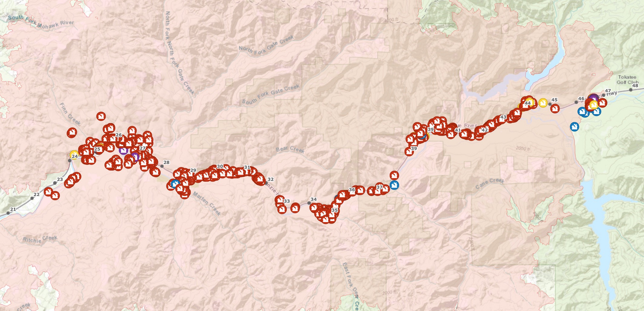
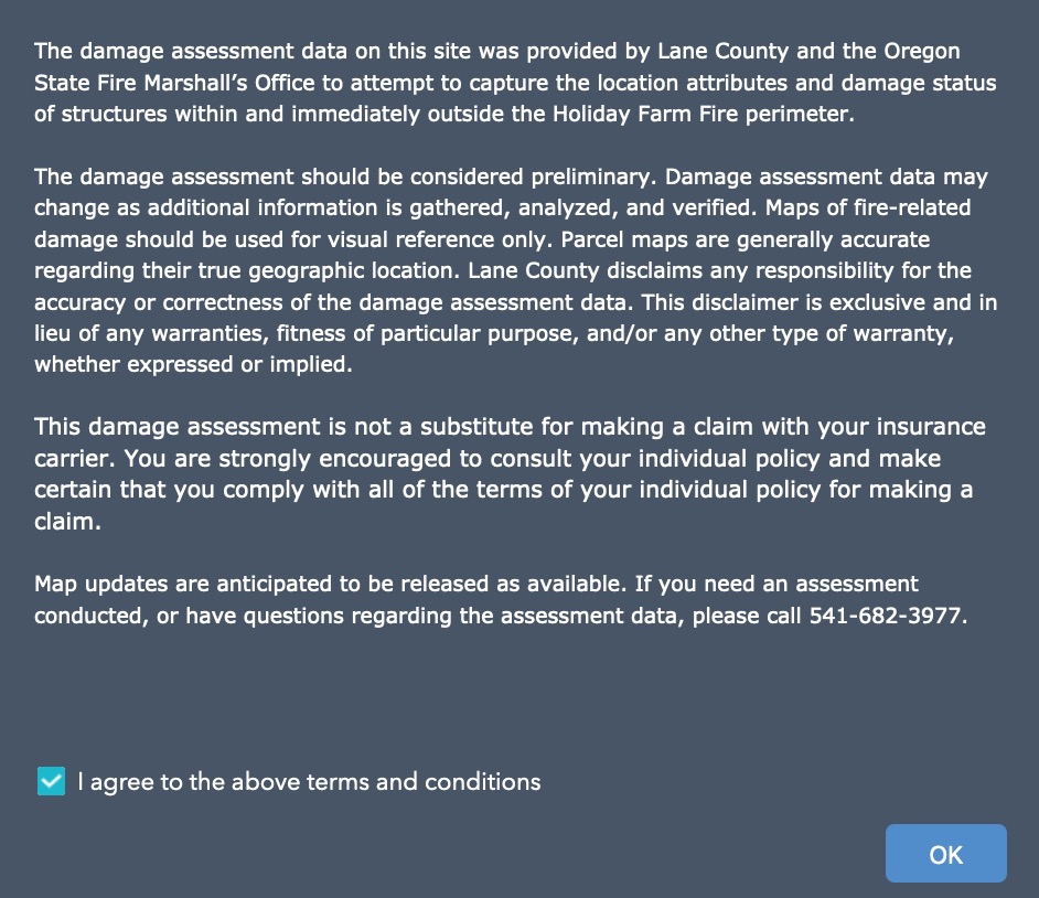
We have been on the ground in Blue River and have spotted a couple of errors in this map where burned properties are not marked or missed off the map completely so please bear that in mind if you can’t find a specific property using this tool. The county provides the following warning when you access the map stressing that this data is preliminary.
Federal Emergency Management Agency (FEMA) Disaster Assistance Program
The Disaster Assistance Program (DAIP) provides disaster survivors with information, support, services and a means to access and apply for disaster assistance.
Before beginning the process to apply for disaster relief, people should know their residence address and have other important information ready, including social security number, insurance information, damage information, pre-tax household income, permanent and temporary phone numbers, and (optionally) bank direct-deposit information including the bank name, account type, routing and account numbers.
For help or to apply by phone, call 1-800-621-3362; TTY 1-800-462-7585.
www.disasterassistance.gov
Residents who are affected by the Holiday Farm Fire who have inquiries may call Lane County’s non-emergency call center at 541-682-3977 between the hours of 8:00 a.m. and 5:00 p.m.
If you are under an evacuation notice, please comply with requests made for Level 1 (Be Ready), Level 2 (Be Set) and Level 3 (GO NOW).