

Understanding Hazard Tree Removal Markings
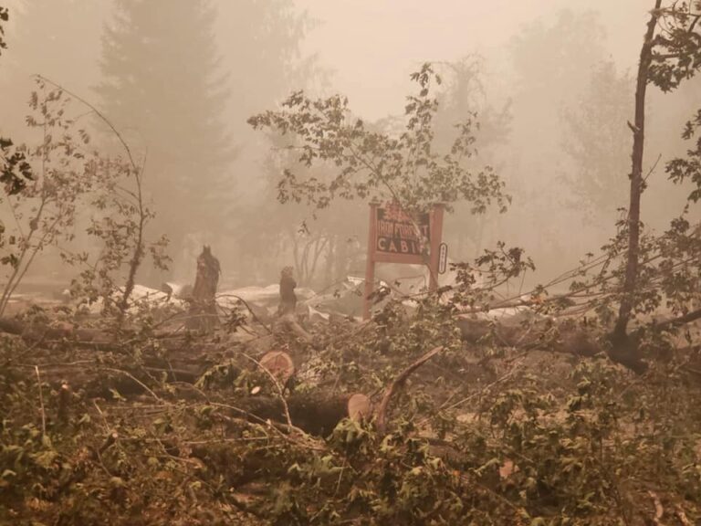
As posted previously crews around the state are beginning to clear roads and private properties of trees damaged in September’s wildfires. The tree clearing is part of the Oregon Wildfire Recovery Debris Management Task Force’s effort to provide cleanup for homes and businesses in the eight affected counties – Clackamas, Douglas, Jackson, Klamath, Lane, Lincoln,…

Lane Transit District Has Restarted McKenzie River Route 91 Service
Lane Transit District (LTD) restarted the Route 91 service on the McKenzie Highway on Sunday, Jan. 24, and since then has added two temporary bus stops along the Highway (Highway 126) at the east end of Blue River Drive. The schedule has been modified to take into consideration work happening along the highway and an…
Wildfire Cleanup Team Asking for Specific Property Information for Planning
Press release issued by the Oregon Debris Management Task Force (Link) SALEM, OR – Oregon property owners affected by September’s wildfires must provide specific cleanup needs to help crews plan and schedule upcoming work. Those participating in the Oregon Wildfire Recovery Debris Management Task Force Step 2 cleanup need to complete a questionnaire asking for…
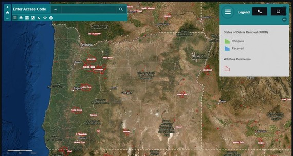
What’s Happening Near You? Easily Track Progress with Online Tools
As cleanup work ramps up across Oregon, track what’s happening in your area or around the state by using ODOT’s two online interactive tools. The first tool is an address lookup map. Type in your unique access ID to see the status of your property, as well as what documentation we have on file for you….


Letters of Priority Entitlement (LOPE) for Wildfire Survivors
Wildfire survivors may be prioritized for subsidized housing through a Letter of Priority Entitlement (LOPE) from the United States Department of Agriculture (USDA). It serves as a letter of support to individuals whose home has been damaged or destroyed in a Federally declared disaster. This letter allows the recipient, who may not otherwise be eligible,…

New Fire Recovery Map Available
Lane County has created a “recovery map” to help track and share rebuilding progress following the Holiday Farm Fire. The interactive map allows viewers to see how many properties have started to rebuild, replaced some structures or replaced all structures. The map also allows viewers to sort by residential or commercial properties, view property sales…
