New Fire Recovery Map Available
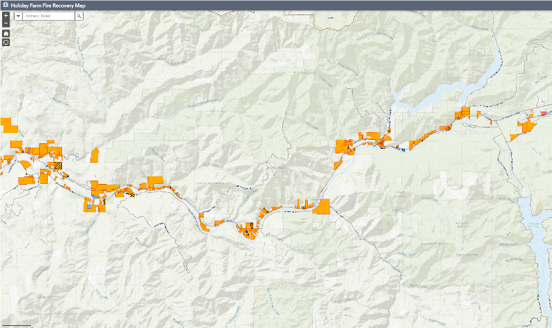
Lane County has created a “recovery map” to help track and share rebuilding progress following the Holiday Farm Fire.
The interactive map allows viewers to see how many properties have started to rebuild, replaced some structures or replaced all structures. The map also allows viewers to sort by residential or commercial properties, view property sales that occurred after September 7, 2020, and see if temporary housing (i.e. recreational vehicles) is in place.
View the map.