New Updates to the Step 2 Cleanup Progress Page
Source: DebrisCleanupNews.com
Data tells the story of wildfire debris cleanup and recovery and the work underway to support Oregon wildfire survivors as they plan for their next chapter. From homeowners wanting to know the status of where their property is at in the cleanup process, to lawmakers seeking information to guide their decision-making, having access to accurate data is important for many Oregonians and an important reporting tool for tracking the significant progress underway in delivering this important work.
As part of an evolving emergency response operation, over the past year, the Debris Management Task Force has progressively made changes to the way we collect and present our data and continue to adapt to the needs of the public and the operation as we learn more about on-the-ground realities in the field. To ensure this data is accessible and continues to reflect operational realities in fire-impacted communities, updates will continue to be applied to the By the Numbers Dashboard and the Interactive Property Status Map on the Step 2 Cleanup Progress page.
By the Numbers Dashboard
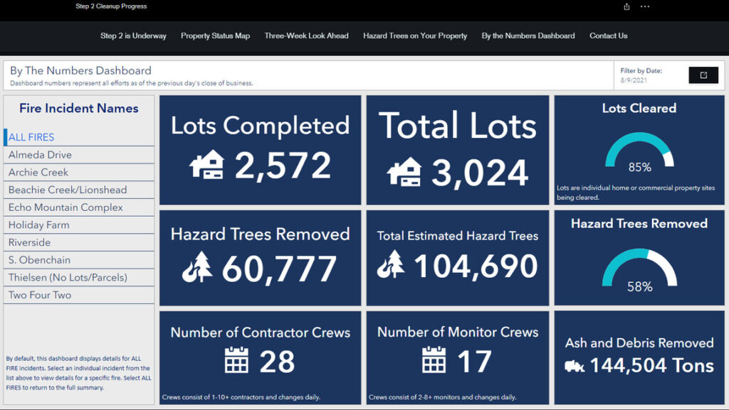
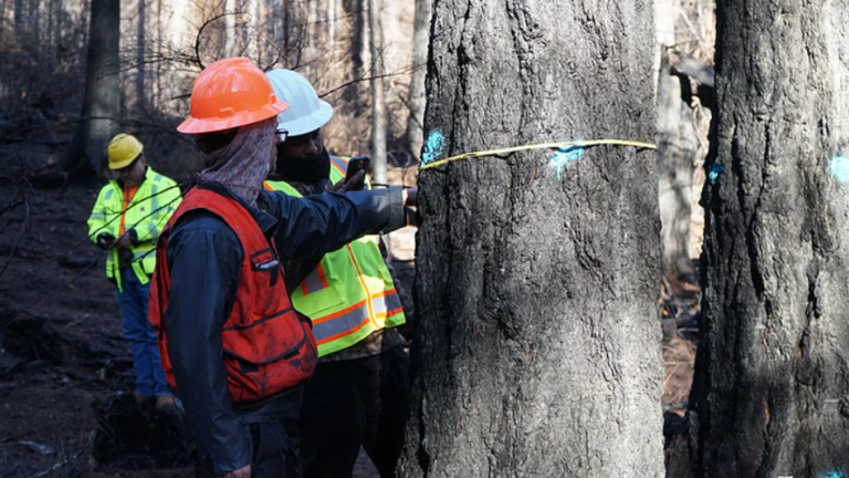
Stemming from when this work began and initial estimates were made, data has and will continue to evolve to reflect the current scope and scale of remaining hazard tree removal work. The total number of estimated hazard trees represented on the By the Numbers dashboard fluctuates to represent the current realities in the field as arborists and foresters evaluate more trees and get closer to concluding their work and part of the recovery process. The current data is an iterative and ongoing estimate with a margin of error that lessens as more information is gained, and will likely decrease over time as we continue to gather more information from the field through the completion of tree evaluations, aerial surveys, additional tree marking data and assessing terrain limitations, to name a few.
Some other By the Numbers Dashboard updates include:
- A change in color scheme from red and grey to white and blue; these colors were chosen with colorblindness in mind
- A subheader that explains, “Numbers represent all efforts as of the previous day’s close of business”
- A new “Total” tab to toggle between all wildfire areas and individual fire areas
- A transition from multiple tabs per each data box to a simplified nine total data boxes
Interactive Property Status Map
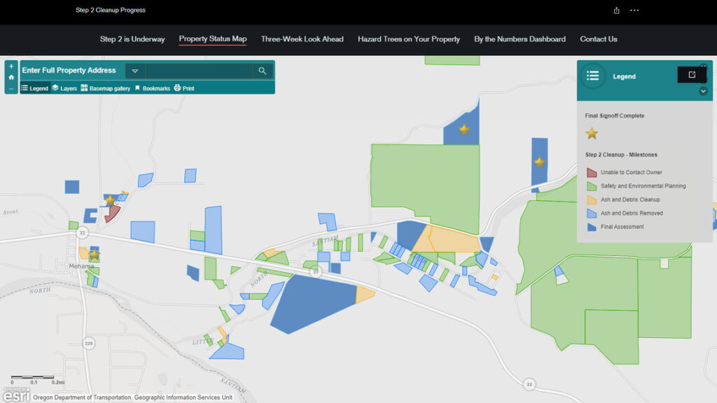
The explanation and visual representation of the steps of property cleanup have evolved as well. Using labels such as “Final Assessment” instead of “Step 2 Cleanup Complete” helps you to know if debris cleanup is complete. While “Ready for Rebuilding” is an exciting step to see on the map, “Final Signoff Complete” is a more accurate reflection of what is underway and what work has concluded. We encourage you to visit your local building department for state, county, city or local permitting requirements to ensure what local requirements exist for your specific rebuilding process after we have provided our clearance from an environmental and debris removal perspective.
Interactive Property Status Map updates include:
- Updated forecast definitions below the map to explain new labels
- The “Planning” layer has been merged with the “Environmental Safety Planning” layer
- “Ash and Debris Removed” has replaced “Ash and Debris Cleanup Complete”
- “Final Assessment” has replaced “Step 2 Cleanup Complete”
- “Final Signoff Complete” has replaced “Ready for Rebuilding”
- The “Hazard Trees Along Roadways” and “Right of Way Forecast” layers have been removed; for weekly updates on where hazard tree operations are taking place during a given week, visit www.DebrisCleanupNews.com or call our hotline at 503-934-1700.
